What Are the “Villages”?
As part of the Vancouver Plan, the city has identified 25 future Villages across the city of Vancouver. These villages are small neighbourhood centres made up of local shops, services, and housing. They are located using a 400-metre (5-minute) walking/rolling radius around existing small commercial nodes. These nodes are usually found at the heart of residential areas — places where people already walk to get coffee, groceries,or visit a local park. The Vancouver Plan identifies 25 future Villages, and the current Villages Planning Program focuses on 17 of them.
What is the vision for the Villages program?
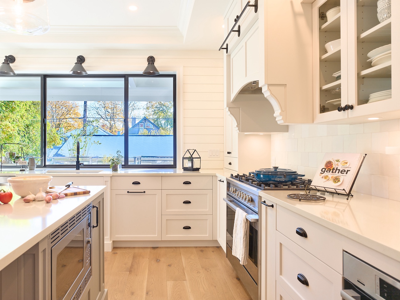
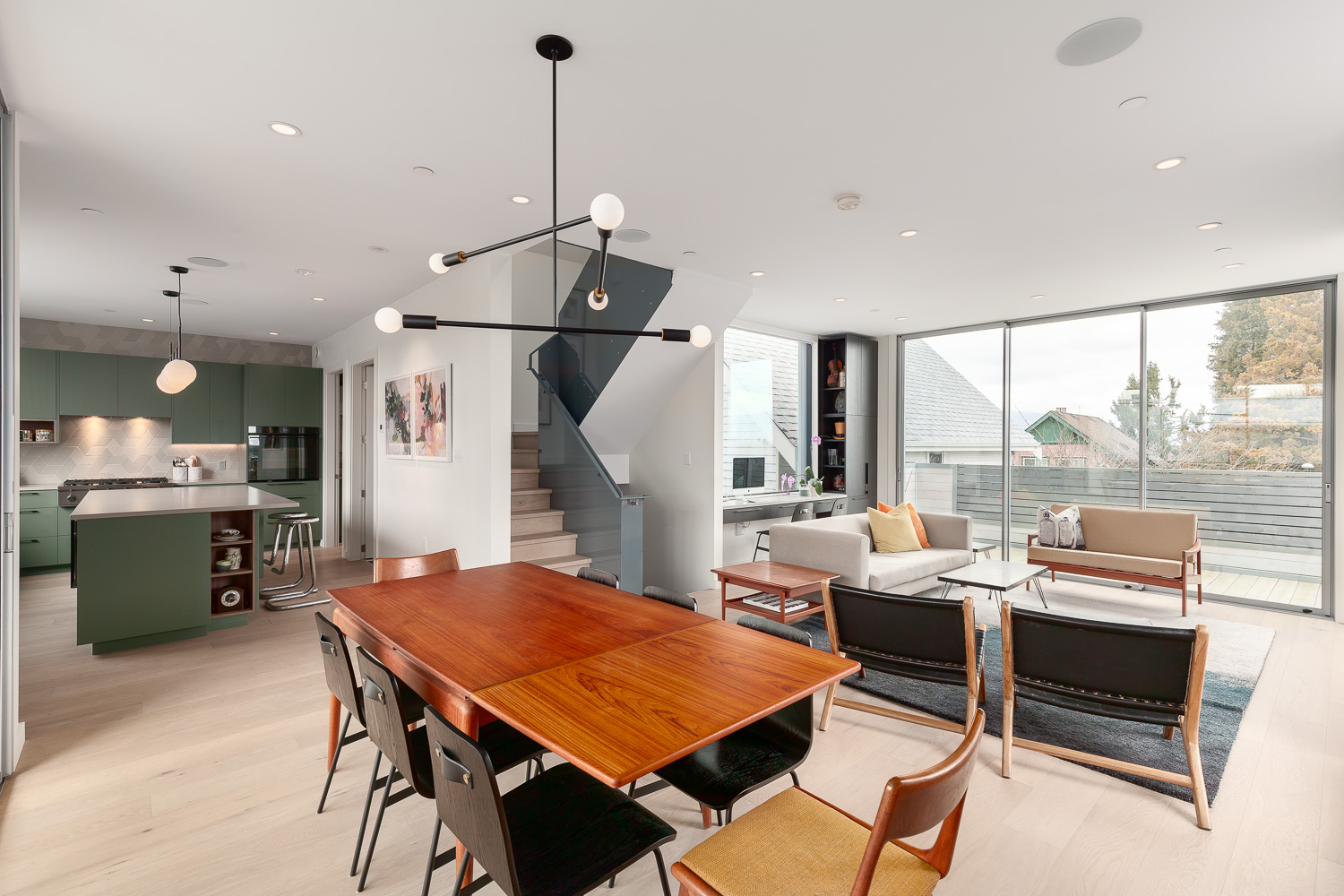
The city intends to build complete, connected neighbourhoods with a mix of housing, shops, and public spaces so people can meet more of their daily needs locally. This involves Introducing more housing options, particularly “missing-middle” housing: townhouses, multiplexes, and apartments up to six storeys. It also aims to support sustainability:encourage active transportation (walking, cycling), nature access, and transit connections.
What is the process for creating the villages?
The Villages Planning Program is organized in phases; as of now, it’s in Phase 2 (“Emerging Ideas & Directions”). Feedback from the community (engagement) is being used to refine proposed land-use plans. In 2026 the draft plan will go to city council for adoption. Redevelopment is anticipated to happen gradually; change will likely be incremental over many years. Unlike existing redevelopment, rezoning will mostly be city-initiated,rather than through private applications.
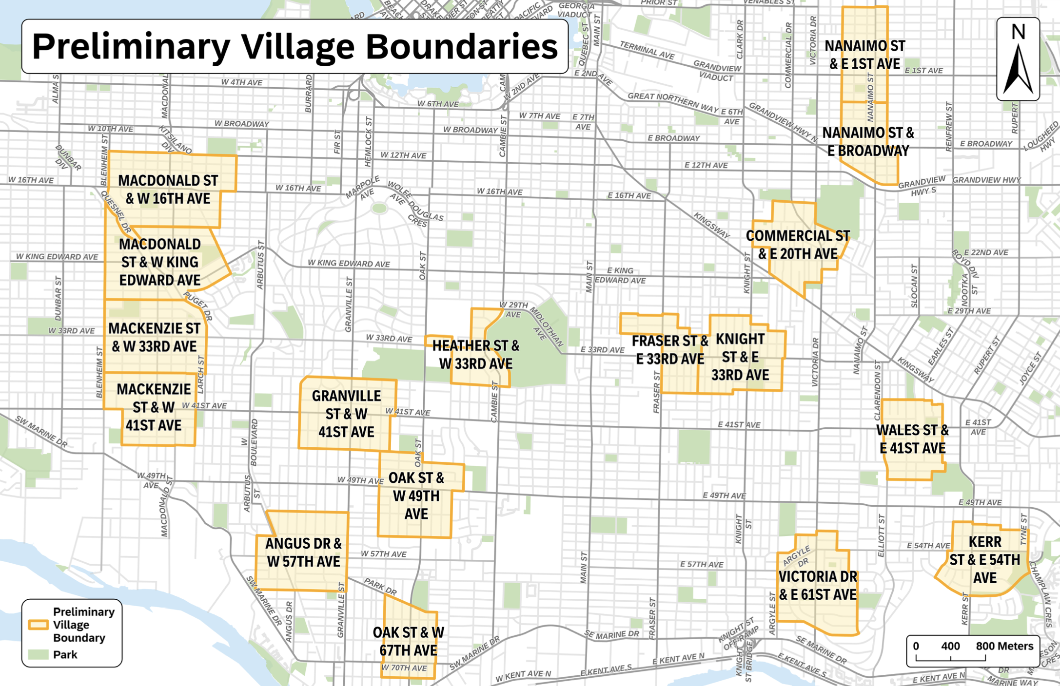
Where are the Vancouver Villages?
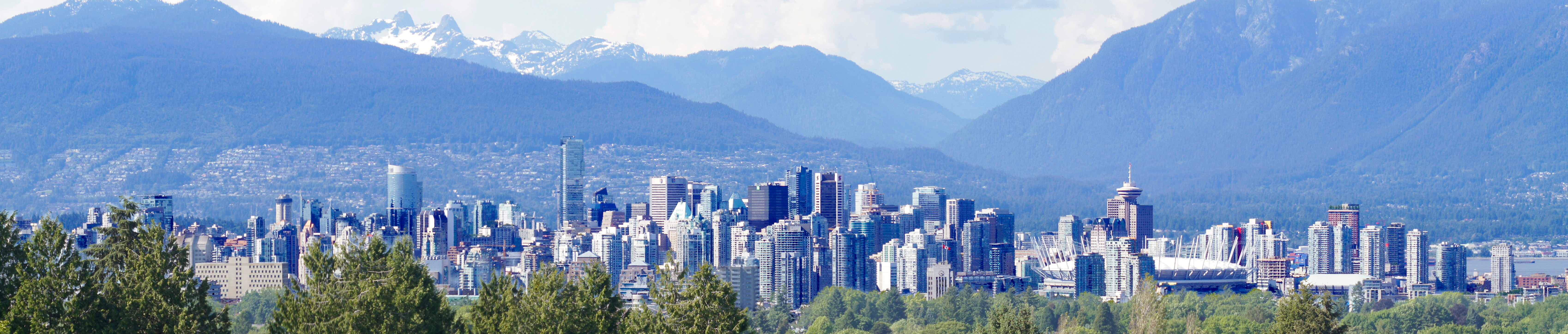
The villages are centered around key intersections which the city has identified as ideal for redevelopment. The current 17 Villages cover about 600 city blocks (approximately 13% of Vancouver)in aggregate.
By area they are located:
1. West Side Villages
These are located west of Cambie Street (Kerrisdale, Dunbar, Arbutus Ridge, Shaughnessy, South Granville).
- Macdonald St & W 16th Ave (Kitsilano / Arbutus Ridge edge)
- Macdonald St & W King Edward Ave (Arbutus Ridge)
- Mackenzie St & W 33rd Ave (Mackenzie Heights / Arbutus Ridge)
- Mackenzie St & W 41st Ave (Kerrisdale)
- Angus Dr & W 57th Ave (South Granville / Shaughnessy)
- Granville St & W 41st Ave (Kerrisdale / Shaughnessy border)
- Oak St & W 49th Ave (South Cambie / Oakridge)
- Oak St & W 67th Ave (Marpole)
- Heather St & W 33rd Ave (South Cambie / Queen Elizabeth Park area)
2. Central Vancouver Villages
These sit between Cambie and Knight (Riley Park, Kensington-Cedar Cottage, Mount Pleasant).
- Fraser St & E 33rd Ave (Kensington–Cedar Cottage)
- Knight St & E 33rd Ave (Kensington–Cedar Cottage)
- Commercial St & E 20th Ave (Cedar Cottage / Trout Lake)
- Nanaimo St & E Broadway (Grandview-Woodland / Renfrew Heights transition)
3. East & Southeast Villages
These are east of Knight Street and extend toward Killarney, Renfrew–Collingwood, Sunset, Victoria–Fraserview.
- Nanaimo St & E 1st Ave (Hastings-Sunrise / Renfrew)
- Wales St & E 41st Ave (Renfrew Heights / Killarney edge)
- Victoria Dr & E 61st Ave (Victoria–Fraserview / Sunset)
- Kerr St & E 54th Ave (Killarney / Champlain Heights)
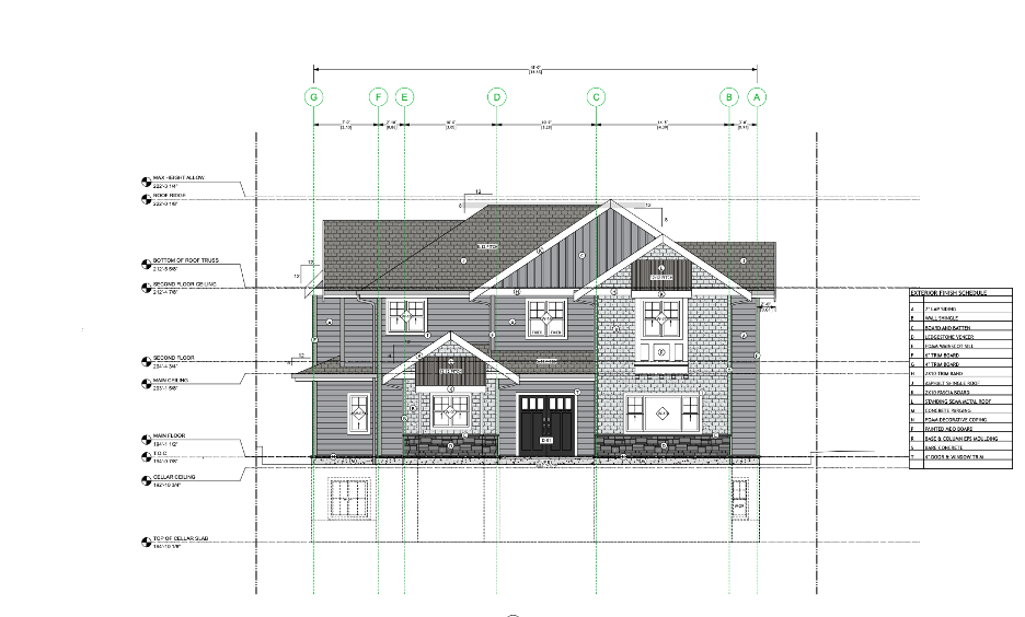
Once approved the Vancouver Villages will provide exciting new opportunities for commercial and residential redevelopment.If you are in one of these existing areas or are looking to move to one of these locations and want help navigating your housing build/renovation, contact us today.
For more information about the city’s villages program check out these links:
https://www.shapeyourcity.ca/villages
https://syc.vancouver.ca/projects/villages/villages-planning-program-reference-map.pdf